Sailing For The Soul
  • Blog
  • About
  • Contact
  • Photo Galleries

Travel Stats

9/23/2019

0 Comments

 
After long voyages it’s customary to post the pertinent statistics. A summery is often all that’s needed. Here is ours.

The voyage.
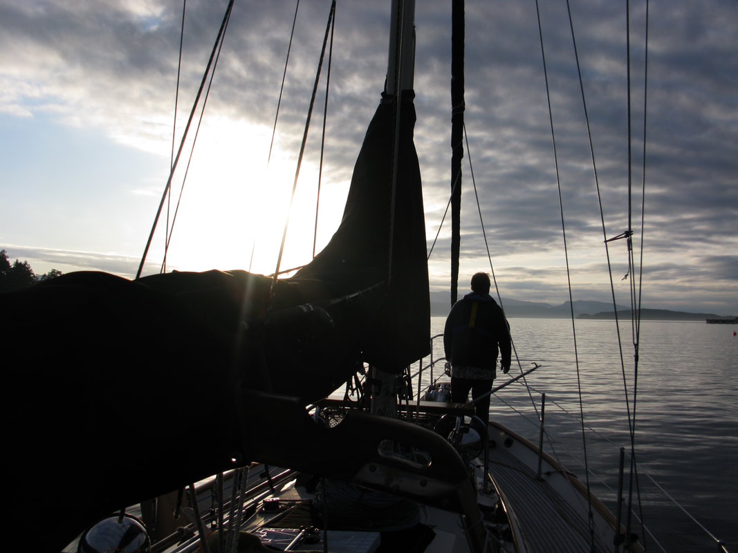
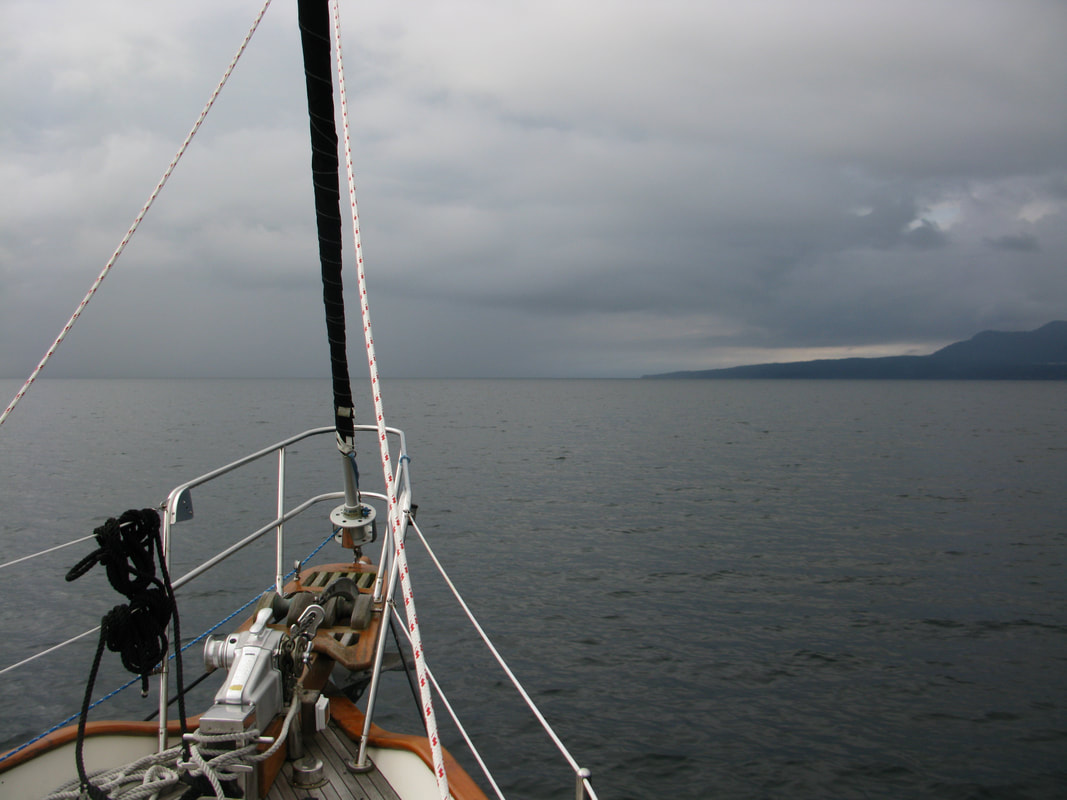
Travel from Otter Bay, North Pender Island, up and across Georgia Strait to the Sunshine Coast, up through Desolation Sound and then the inside passage, ending up in the Broughton Archipelago, there to spend the summer exploring. The return trip followed the same path.
Picture
From one end to the other.
Number of days.
May 20th to September 15th
118 days

Distance traveled.
921miles

Longest travel day, time and distance.
September 10th, the return trip across Georgia Strait.
The torpedo testing range, WG, was active so we had to go around it.
6 hours, 36 minutes
39.5 miles

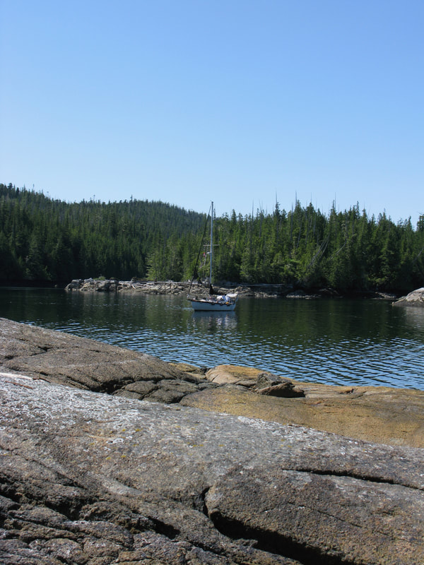
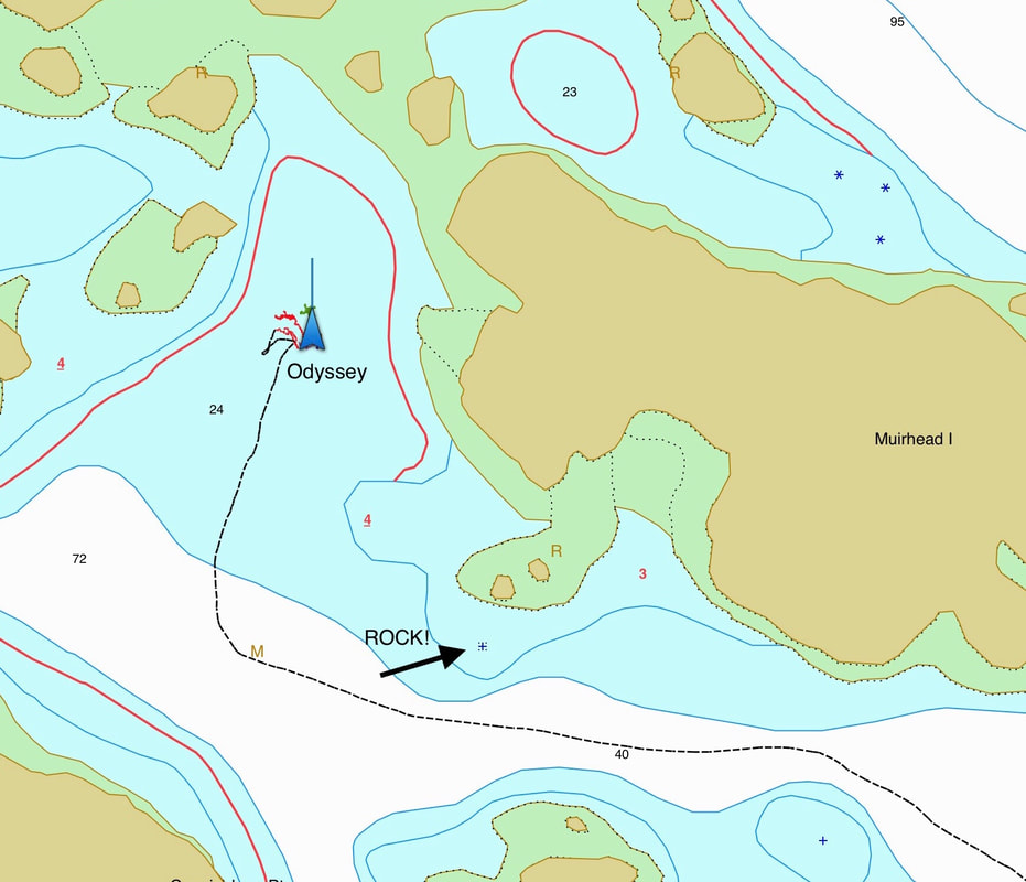
Furthest point from Otter Bay.
Muirhead Island Group, Drury Inlet
50º 55.303’ North  127º 08.593’ West
Straight line, 203 miles
Interesting fact. That is 173 miles further west then Victoria.

Maintenance and Repair.
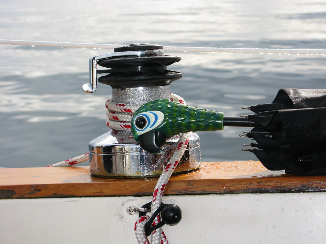
None. Odyssey is a very good girl and her crew love her very much.
0 Comments

Adapting

9/21/2019

0 Comments

 
Here we are, well tucked onto a safe dock after four months in the remote north. We have all we could wish for, showers, laundry, fresh water and supplies.

And yet, after just three days, we decided to untie the dock lines and anchor out in the bay. This wasn’t about traveling, nor looking for a better place, we both just felt the need for a little privacy. 

It sounds ridiculous, but compared to the Broughtons, Otter Bay is a busy place.

Out we went, less then half a mile, and dropped the anchor. There we spent a wonderful two days. 

What did we do? Sarah painted, and in an amazing way, as she always does. Me? When all is well, the stars alined, and the world calms down enough, sometimes I just sit and contemplate the universe.

It had been awhile and I enjoyed it very much.

Happy, grinning and satiated, we headed back to the dock as the sun set. All was well with our world. 
Picture
Anchor up.
What does it take for you to be really happy? Money? Accomplishment? A sense of being? Whatever it is, find it and enjoy it to the fullest.

Ours is a relatively quiet and creative life based on the philosophy of ‘Do no harm’. For us this is enough.

That, and loving each other.
0 Comments

South to Otter Bay

9/20/2019

0 Comments

 
Heading south from Nanaimo, through Dodd Narrows, into the southern gulf islands can be an exercise in patience. The Narrows, just an hour south of Nanaimo, really controls the timing. You only transit at slack tide and there is no cheating allowed. (Dangerous.) Be patient, wait for it, and all will be well.

Before heading to Otter Bay we planned an overnight stop in Ganges. We were in need of a big restocking of food and fuel. It’s a seven hour trip from Nanaimo, but with an early slack tide at Dodd you could do the whole trip in a day.

Unfortunately, the time of slack wasn’t so early the day we wanted to go and would put us in Ganges quite late. Also, for us, 7 hours is just a bit too long for a comfortable cruise.

With all this in mind, we broke the trip into two days. The first day we would head south through the Narrows and then anchor in North Harbor on Thetis Island. It’s a great anchorage in all except heavy NW winds, and very quiet with good holding in mud. We slept well that night.

With bad weather moving in we left early the next morning. We made Ganges by 11 am, fueled up the boat and tucked into a nice slip.

There were three days to burn before our slip in Otter Bay was available. It rained, it blew, we had a great time eating out, going to the Fall Fair, and shopping. On Sunday we headed out after the final food shopping, tired and happy.

Not a bad way to get back into the swing of civilization.
Picture
Just for fun. This is so me.
0 Comments

No Water Tornados

9/18/2019

0 Comments

 
My last post was a bit short. I complained about water spouts (think tornados on the water) that were in the forecast for the day we wanted to cross the Strait of Georgia. Actually, the complaint was focused on the forecast combination of water spouts together with calm winds. Those two things should be mutually exclusive.

At least that was my opinion.
Picture
Heading out to cross the Strait of Georgia.
The Captain should always have a plan, and mine for crossing large and often rough bodies of water is fairly simple.
​
- Get to the crossing point,  the last safe harbor before    launching across the big water.
- Wait for a weather window.

Our go spot was Pender Harbor on BC’s mainland. We like John Henry’s Marina and would happily wait there for good weather. It turned out that good weather was upon us for the next day, except for that whole water tornado thing.

We decided to go anyway. 

Our path was nearly due south as we headed out the harbor. Towards the north, the sky was inky black from top to bottom. 

I told Sarah, “Glad we aren’t going that way” and happily steered towards Nanaimo and clearing skies.

​
Picture
Vancouver Island in the distance. Notice the rain.
It took 6.5 hours and we got caught in some big downpours, but it was very calm and luckily water spout free.

​How does a seasoned captain deal with 
heavy rain?

A Mary Poppins umbrella of course.
Picture
If it works.....why not?
Picture
Essential sailing gear readily at hand.
0 Comments

Are You Kidding Me?

9/9/2019

0 Comments

 
We are crossing the Strait of Georgia tomorrow, Tuesday.
This is the weather report I just pulled down.
Tell me, how can you have light winds and a risk of water spouts?
Picture
Water Spouts?
0 Comments

Caution is the better part of....

9/6/2019

1 Comment

 
NOTE: I wrote this a month ago while anchored in Drury Inlet at the north end of The Broughton Archipelago. My apologies, many posts were shelved till better internet access.

Today I watched the grounding of the sailing vessel Monna.
Several hundred yards from us she came to a sudden and violent stop when her keel hit a rock.

I was watching her at the moment of impact. The bow went down and the stern came up out of the water. I still can’t believe she didn’t tear the keel off and sink right there.

We were anchored in the Muirhead Island group at the end of Drury Inlet, a long way from anywhere, especially any kind of quick help.
Picture
Lots of rocks, but beautiful!
The charts are nicely detailed, which is a good thing because there are rocks everywhere, some showing themselves at low tide, others staying hidden just below the surface.

When we arrived yesterday we had the place to ourselves, which was surprising considering the sunny day. But as the tide changed, quite a few boats began to show up. Most passed the islands by for a large (and rock free) anchorage a half mile away. Most boats that is.

The approaching sailboat looked to be about 45 to 50 feet long, threading his way through the islets, taking it slow. The small cove we were in really wasn’t large enough to handle two boats swinging on anchor, and my fear was someone would try to fit in anyway. As the sailboat approached I was hopeful he would pass us by.

No such luck. 

His intent was obvious as he turned towards us. It never occurred to me he was turning too soon to avoid the rocks at the entrance. I was watching closely as the 10 to 15 ton sailboat came to a jarring halt. The captain disappeared,  I’m guessing thrown from the wheel.

The noise it made was surprisingly loud. I imagine anything not bolted down inside was now on the floor. The captain was quickly up and started backing away ever so slowly. Soon they turned back into the channel. 

I hailed them several times on the radio to see if they needed assistance, but I never got a reply. They were probably too busy checking for damage. I could see that no one was wearing a life jacket, nor did they put them on after the collision. If his wife had been on the bow, getting the anchor ready, she would of been tossed into the water.

At a snails pace they headed out of danger to the larger anchorage just north of us.

Why did it happen? I don’t know. Was the captain distracted for a few moments as he tried to figure out where he could anchor? Did his chart plotter fail to show the rocks? He obviously made a decision to turn into the cove, but why too soon? Simple carelessness?

Our chart plotter records our path, so I took a look to see how close to those rocks we had come. The safe entrance was about 400 feet wide and I had stayed safely in the middle. The rocks were marked on the chart and we never came close.
Picture
Chart Plotter Love
There is an old saying. “There are two types of Captains, those that have run aground, and those who lie about it.”

That may have been true twenty years ago, but with high definition chart plotters fitting on your phone and GPS accurate to 16 feet, it’s hard to imagine anyone running aground unless they just aren’t paying attention.

And no. I’ve never run aground.
And yes. We always wear our life jackets when in transit. Always.
1 Comment

The Last Leg of Summer

9/1/2019

0 Comments

 
The last leg of summer.


September 1st, Refuge Cove Marina, south end of Redonda Island.
It’s the last leg of summer, and we woke to the lovely sound of rain. If you’ve never been inside a boat during a rain shower, you’re missing one of life’s little pleasures.

We’ve decided to stay in Desolation Sound for most of the coming week before starting the trek down south. The weather is going to improve and we have a few favorite anchorages in the area that promise quiet days of just messing around. With winter’s imminent arrival, it would be a shame to let that slip by.

Odyssey has been stocked up from the little store (thank you Sarah), the water tanks are full, and this morning we will fill the fuel tank on the way out.

After a week we’ll be back. With fresh supplies and internet weather forecasts, Refuge Cove is a great jumping off point to head south. From there we stop twice as we head down the Sunshine Coast. Then, from Pender Harbor, we can watch for a weather opening before crossing the Strait of Georgia to Nanaimo.

Now it’s time to untie the lines. We’ll keep you posted and run the tracker.

Sarah and Jonathan
SV Odyssey
Desolation Sound
0 Comments

    Odyssey


    Live as if you were to die tomorrow.
    Learn as if you were to live forever.
    -Mahatma Ghandi-

    Find Us

    Archives

    October 2021
    September 2021
    June 2021
    May 2021
    April 2021
    March 2021
    December 2020
    November 2020
    October 2020
    September 2020
    June 2020
    January 2020
    November 2019
    September 2019
    August 2019
    July 2019
    June 2019
    May 2019
    April 2019
    March 2019
    February 2019
    January 2019
    December 2018
    November 2018
    July 2018
    June 2018
    May 2018
    April 2018
    March 2018
    December 2017
    September 2017
    July 2017
    June 2017
    May 2017
    April 2017
    March 2017
    February 2017
    January 2017
    December 2016
    November 2016
    September 2016
    August 2016
    June 2016
    May 2016
    April 2016
    March 2016
    February 2016
    December 2015
    April 2015
    March 2015
    December 2014
    September 2014
    June 2014
    May 2014
    February 2014
    January 2014

    RSS Feed

Powered by Create your own unique website with customizable templates.